Compose any place on Earth.
Earth Composer builds accurate, explorable 3D models of real neighbourhoods, venues and cities from map, LiDAR and photo data. Fly through them live in a browser, or render them as finished cinematic shots.
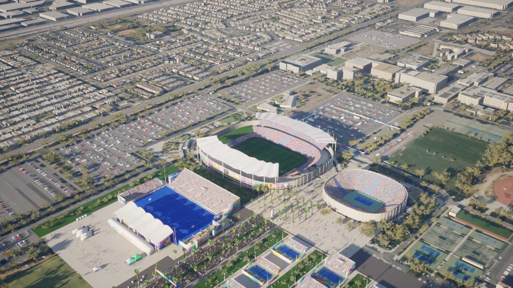
Earth Composer builds accurate, explorable 3D models of real neighbourhoods, venues and cities from map, LiDAR and photo data. Fly through them live in a browser, or render them as finished cinematic shots.
We start from the real map, so the model is right where it matters: street layout, building footprints and heights, terrain, coastline. Then we dress it for the screen.
Whole districts generated procedurally from map and elevation data: roads, buildings, parks, trees and water, kilometres at a time.
Stadiums, arenas and landmarks modelled in detail from reference photos, set into the city around them.
The model streams in real time to any browser. Fly anywhere with keyboard and mouse, no install, no download.
Golden-hour timelapses, fly-tos and orbits with living traffic, lights coming on and moving skies, rendered frame by frame.
Open map data for streets and buildings, LiDAR for terrain and heights, and reference photos for the places that matter most.
A procedural model of the site: ground, roads, building masses, trees, water, street furniture and traffic.
Cameras, time of day, weather and lighting. Hero venues get hand-finished detail.
A live, explorable view for review, plus rendered shots and files for your pipeline.
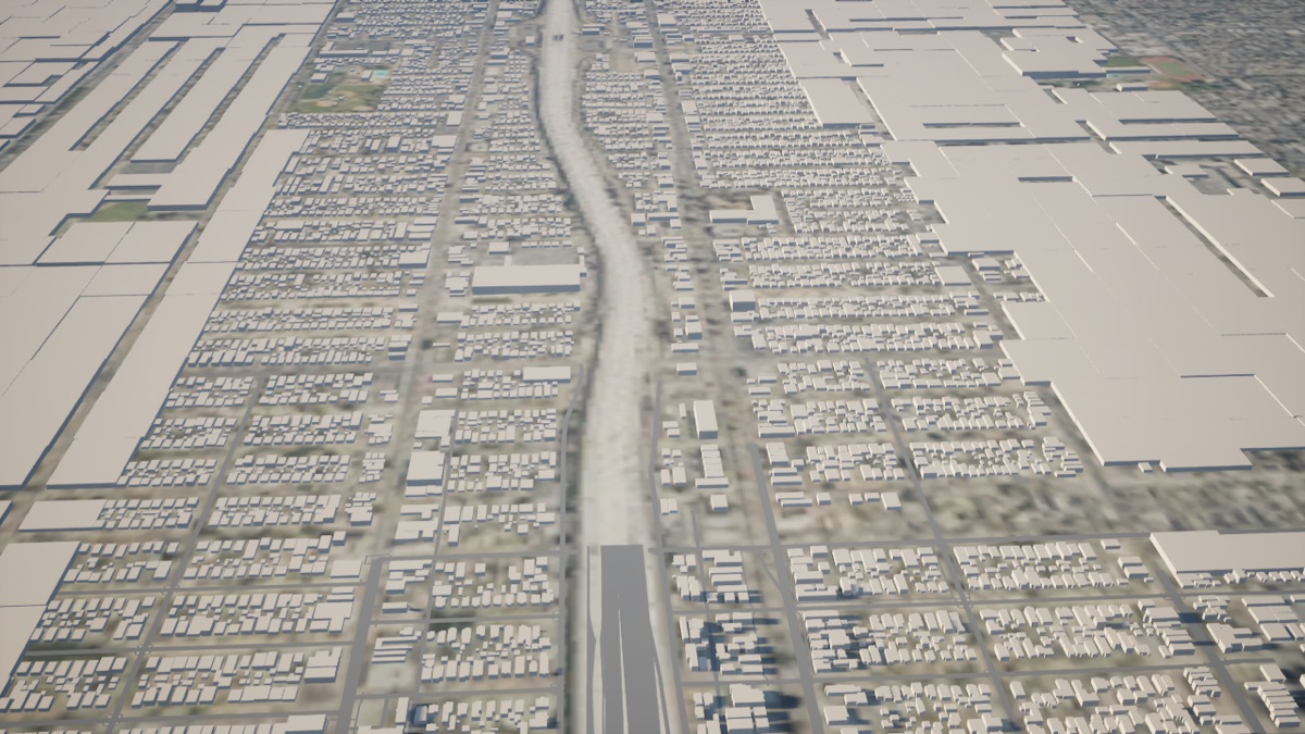
Every block comes from the map, so a shot of a real neighbourhood shows the streets people actually know. No generic city kit, and no licensed 3D map tiles.
Venue reveals, location fly-tos and virtual set backgrounds that match the real place.
Show how a venue sits in its neighbourhood: approaches, parking, transit and surrounding sites.
Put a proposal in context and walk stakeholders through it live.
Block out shots and camera moves on an accurate model before anyone travels.
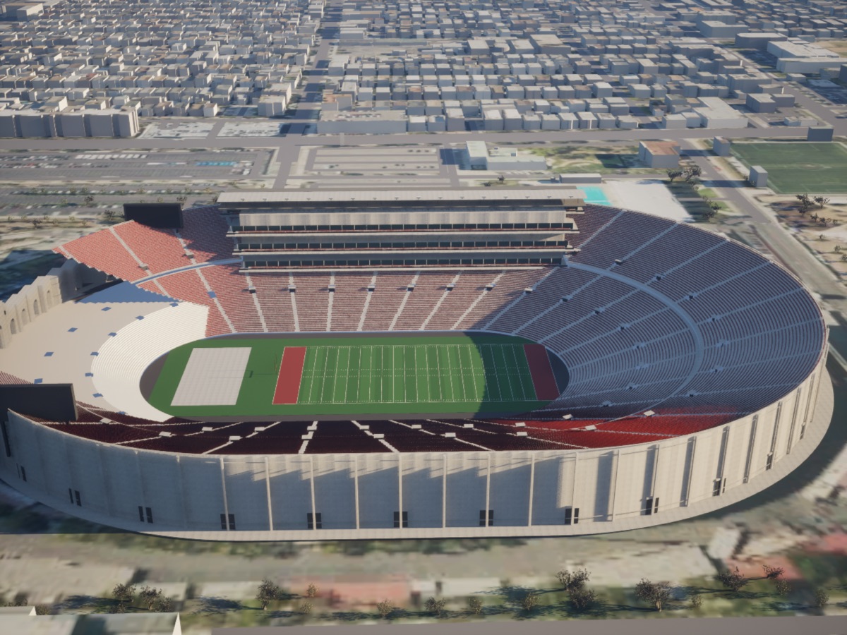
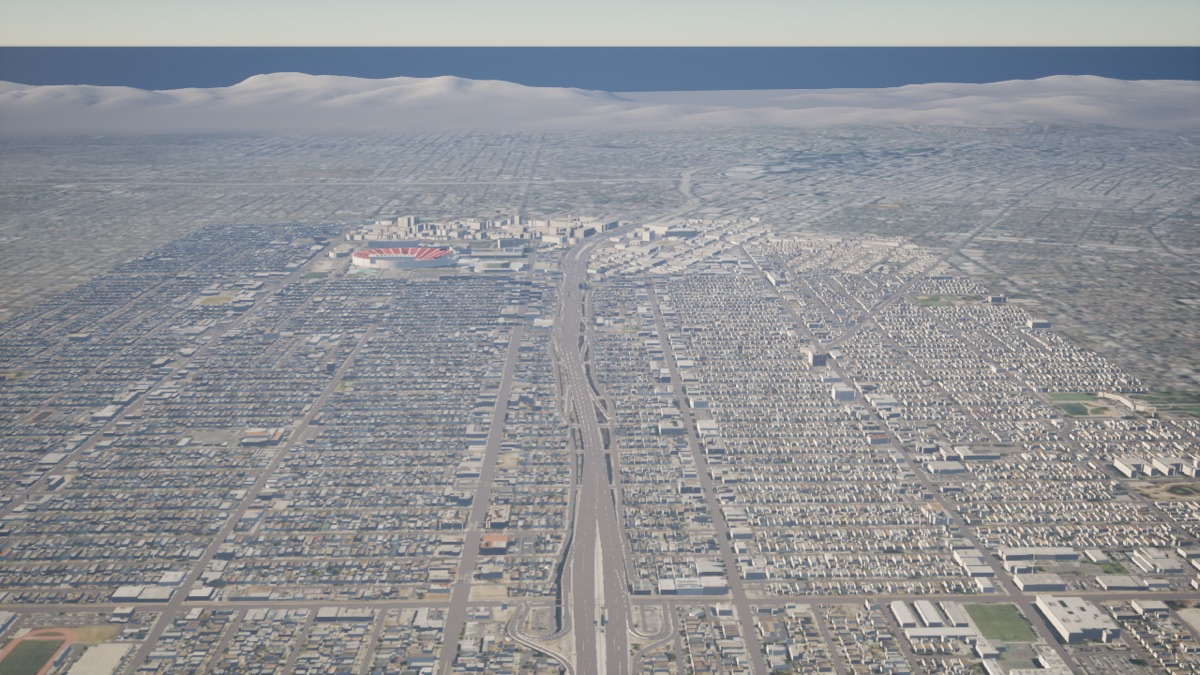
Two test stations stream a live model straight to your browser. You control the camera; the station does the rendering.
For the live demo, please schedule a testing time. Each station serves one viewer at a time, so testing is by appointment and needs a login.